// SOFTWARE
HexMap
A proof-of-concept for rendering Uber's H3 hexagonal grid on an iOS/macOS map and letting users purchase individual cells.
[iOS][macOS]
[EXPERIMENT]v0.1.0OVERVIEW
This experiment explores using the H3 geospatial indexing system to overlay a hexagonal grid (resolution 7) on a map in a native Apple app. It investigates how to render grid cells for the visible map region, handle cell selection and purchase state, and gate grid rendering by zoom level so cells stay legible. The goal is to validate whether existing Swift H3 bindings are sufficient for this interaction model before any product-level planning happens.
FEATURES
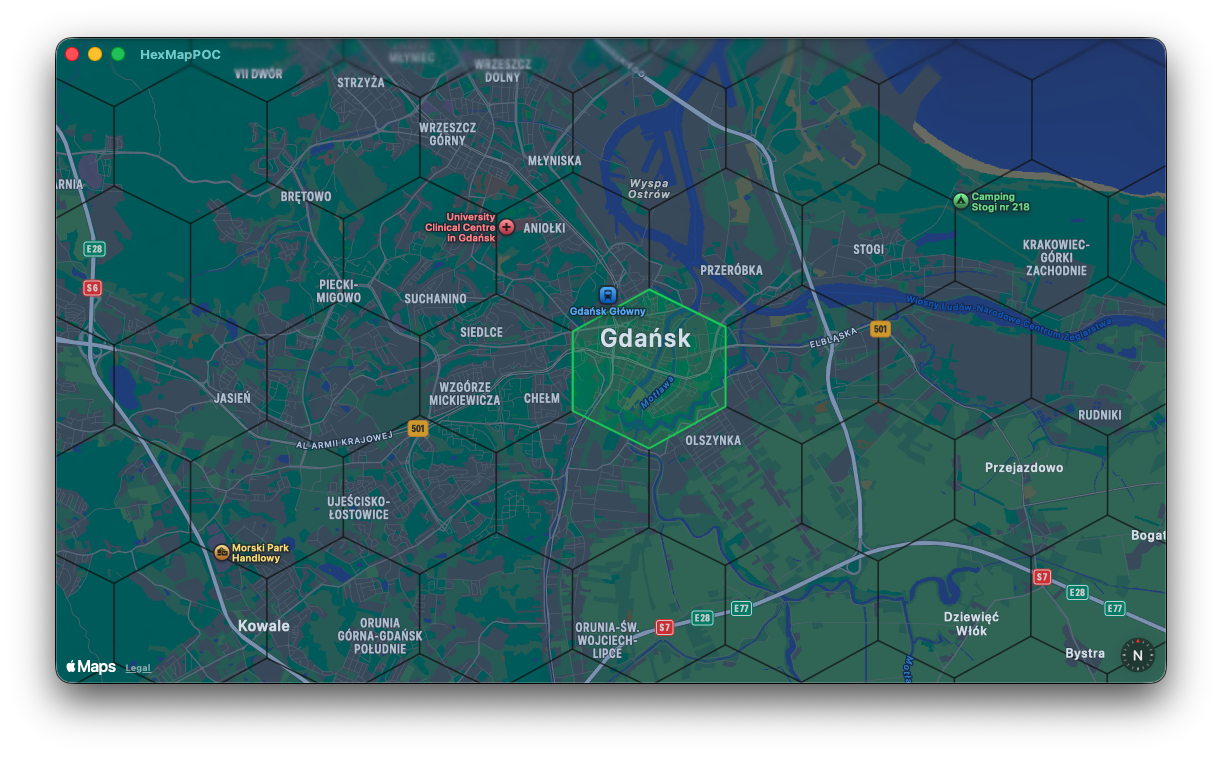
- Render H3 hexagonal grid overlay (resolution 7) computed for the visible map region
- Grey boundaries for unselected cells
- Tap-to-select a cell, highlighting its boundary in white
- Bottom drawer showing the selected cell's H3 index and basic H3 cell info
- "Buy" action in the drawer that persists the cell as purchased locally
- Green boundary rendering for purchased cells
- Zoom-threshold gating so the grid only renders when cells are legible on screen
- Evaluation of Swift H3 bindings (SwiftyH3 / swift-h3) for indexing and boundary operations
SCREENSHOTS

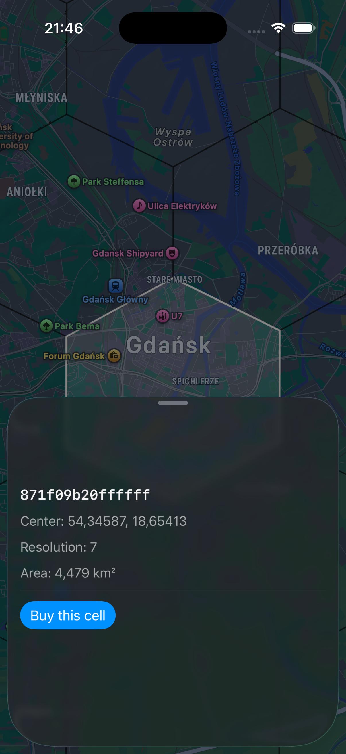
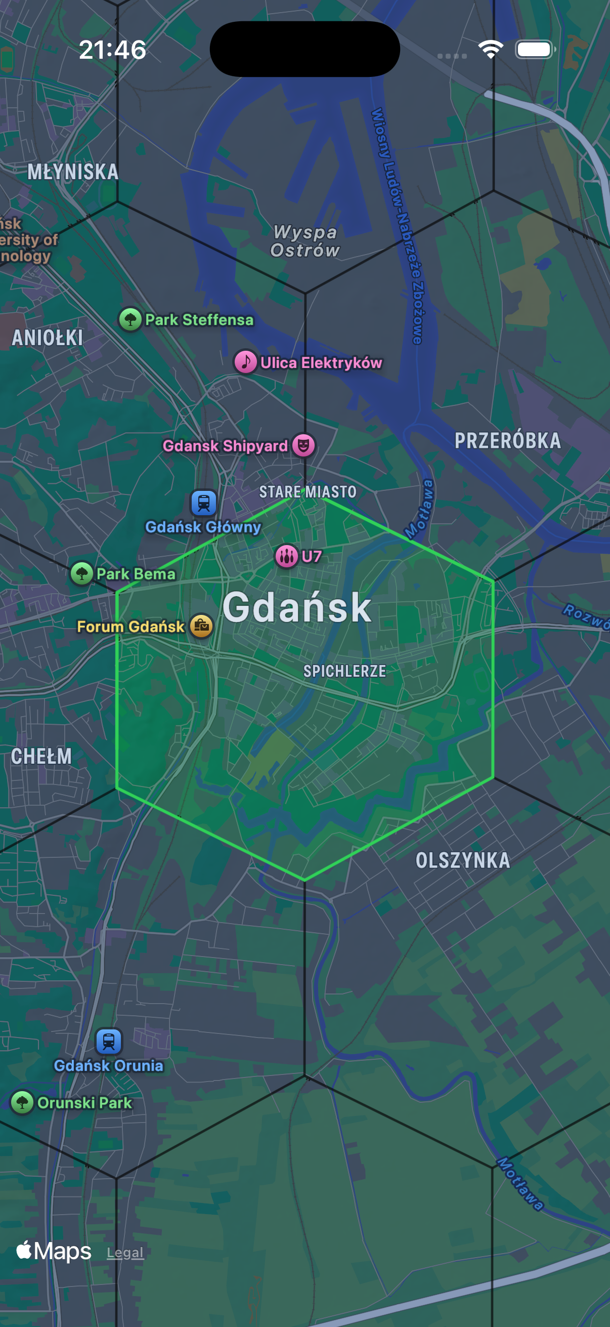
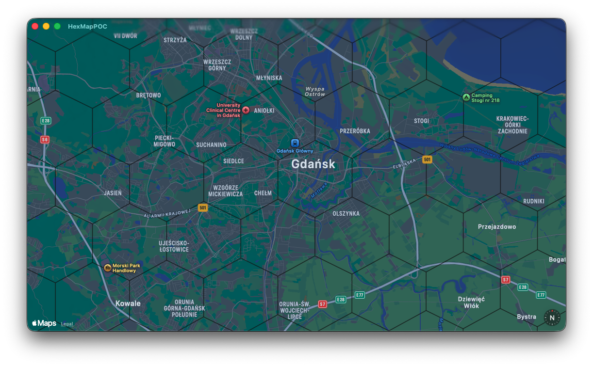
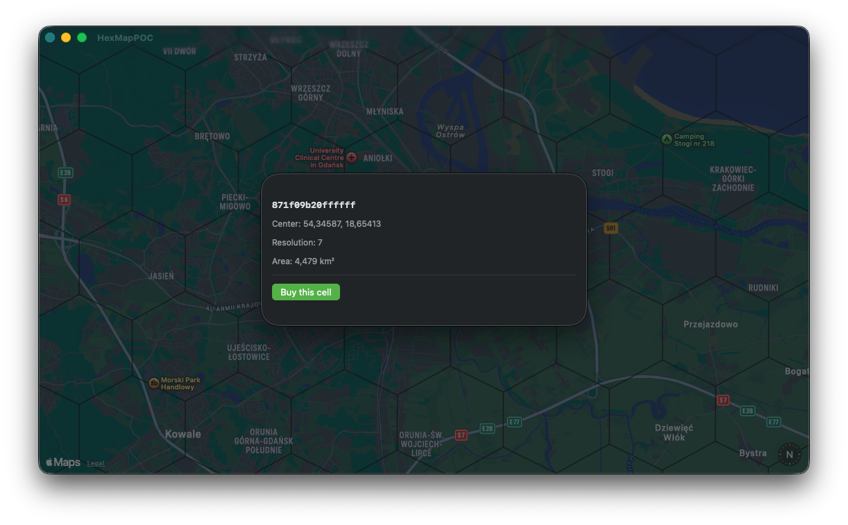
TECHNOLOGY
SwiftUIMapKit
SwiftUIMapKit